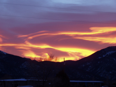
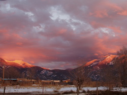
View over Taos mountain in the morning
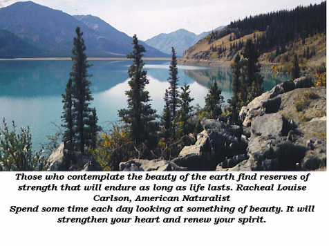
Nature is the art of God.
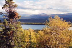
A view from the Alcan Highway...Canadian side
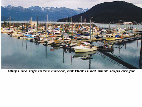
Harbor in Haines, Alaska
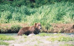
Geographic Harbor in Alaska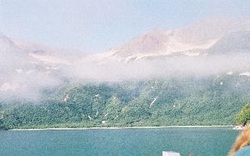 Goegraphic Harbor
I did one of those trips in a lifetime when in Alaska in 2003. Flew over to geographic harbor to watch the bears fish. Only about 10 of us there including the park ranger. It was worth it!
 Missed! 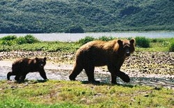 Mama and cub ...pretty close! |
 getting a drink the lazy way! 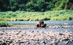 2 cubs playing 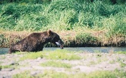 Got one! 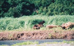 Nap time! |
The Sacred Cenote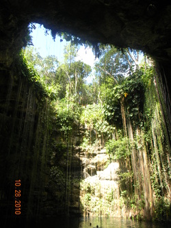
Source of water or place for sacrifice... you decide!
Northern Yucatan is arid, and the interior has no aboveground rivers. The only sources of water are the natural sinkholes called cenotes. Some of these are small, while others are large such as the two at Chichen Itza. Of the two Chichen cenotes, the larger, the "Cenote Sagrado" or Sacred Cenote, is the more famous. According to post-Conquest sources (both Maya and Spanish), the pre-Columbian Maya threw sacrificial objects and human beings into the cenote as a form of worship to Chaac, the Maya rain god. When archaeologists dredged the Cenote of Sacrifice, they found various types of offerings, including jade carvings, pottery, gold and silver artifacts and even human skeletons. The cenote was also considered by the Maya to be an entrance to the underworld and it is believed that the sacrificial victims were venerating Chac Mool by entering this underworld. The Great Pyramid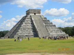
El Castillo, the Pyramid of Kukulkan
|
The famous and largest Ball Court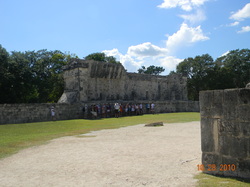
The aucoustics in this field are incredible. Words softly whispered at one end of the great ball court (measuring 545 feet long by 225 feet wide) are clearly audible all the way at the other end and a single clap or shout sounded in the center of the ball court will produce nine distinct echoes.
The game played here I would not want to play. You win. You die! Observatory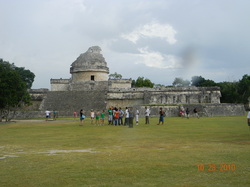
One theory of Mayan, is that the Kings utilized astronomers to inform them of celestial events (such as eclipses) which helped the Kings instill fear and have control over their people. Some practices (i.e. instilling fear for control) never grow old it seems.
|
 Sunrise over Taos mountain |
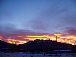 Sunrise in Taos |
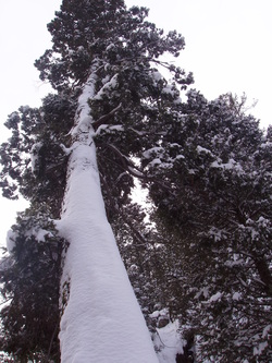 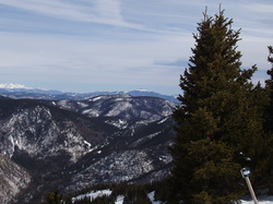 The top of Taos ski valley |
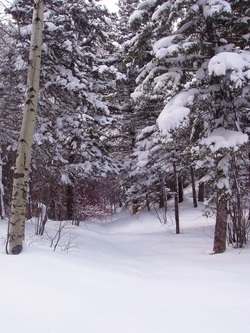 Italianos trail, Taos Ski Valley, March 20th. I was first one there that day...no tracks! 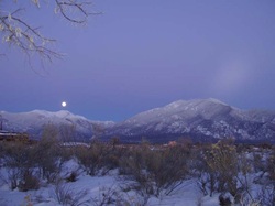 Full moon over Taos mountains |
 Italianos Trail, Taos Ski Valley |
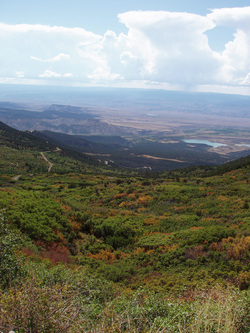 Grand Junction, CO |
|
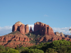
Bell Rock, Sedona, Arizona
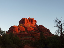
Bell Rock, one of the "vortex" sites? Not so sure about Bell Rock, but Cathedral Rock (see below)...yep, intense energy there. Sedona is a very heart warming place, but I couldn't sleep there.
Abiquiu, NM
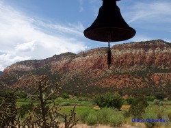
A couple of years ago, Lena and I went banging around Abiquiu, NM, known for it's famous, former resident, Georgia O'Keefe and its beautiful landscapes. There is a monastary there that is off the beaten path. Quiet and serene. They allow people to rent rooms there!
South Padre Island, TX
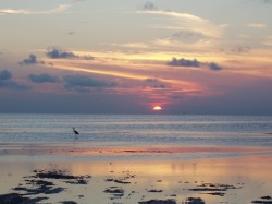
I took this picture at South Padre a couple of years ago. Sunset across the Bay. South Padre got hit hard a couple of years by the 2 hurricanes. I was surprised to see how much erosion has occurred. It's one of my favorite places to get a beach fix! Speaking of beach fix, I'm in dire need of one!